Charter activations
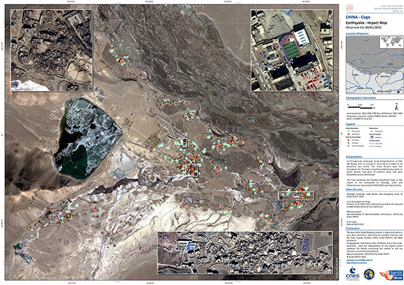
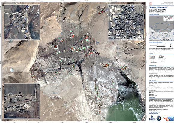
Earthquake in China
A 6.8-magnitude earthquake struck Dingri County in Xigaze City, Xizang Province, at 9:05 AM Beijing time on January 7, occurring at a depth of 10 kilometres (6.2 miles).
The initial tremors were felt throughout the Himalayas, impacting neighbouring regions in Nepal, Bhutan, and parts of northern India, and were followed by several aftershocks.
The energy unleashed by the tectonic movement toppled houses in remote Himalayan villages, rocked a nearby Tibetan holy city and rattled visitors to a Mount Everest base camp.
The National Disaster Prevention, Reduction and Relief Commission has launched a level 2 national disaster response.
More than 120 people have been killed and nearly 200 have also reportedly been injured.
| Тип события: | Earthquake |
| Место события: | China |
| Date of Charter Activation: | 2025-01-08 |
| Время активации Хартии: | 14:37 |
| TЧасовой пояс в районе активации Хартии: | UTC+08:00 |
| Запрос на активацию поступил от: | National Disaster Reduction Center of China (NDRCC) |
| Номер активации: | 942 |
| Менеждер проекта от: | LONGFEI LIU (NDRCC) |
| act-value-adders: | SERTIT Rapid Mapping Service (SERTIT Rapid Mapping Service) |
Products
 Вернуться к полному архиву активаций

 English
 Spanish
 French
 Chinese
 Russian
 Portuguese


