Floods
Floods affect more people than any other natural disaster and they have been the most common cause for activating the Charter since it was founded in 2000. Flooding occurs when bodies of water flow onto land that is normally dry. The source of this overflowing water varies and some of the most common causes are:
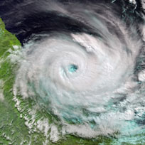
- Storms and torrential rain - Storms often bring large quantities of precipitation, either slowly over a period of days, or in a matter of minutes in the case of flash floods.
- Overflowing rivers, lakes, and oceans - External sources such as rain, snow melt, or obstructions, can cause the water level in rivers and lakes to rise, spilling over and out onto surrounding land. Tsunami's are a much more dramatic form of overflow, when large waves crash into shore; typically due to underwater earthquakes.
When floods inundate inhabited areas they have immediate and long-term consequences.
The immediate impact is disruption; flood water can block transportation routes, isolating parts of cities or entirely cutting off access to remote communities. Large quantities of water may sweep away fragile buildings and bridges, and damage electrical supplies. Agriculture can also suffer greatly with crops being destroyed or livestock drowning.
The long-term impact is that large quantities of water are difficult to remove, and as such floods usually remain for long periods of time. This poses hazards to sanitation; dirty water and overflowing sewage are breeding grounds for diseases such as typhoid and cholera. Work on restoring and repairing infrastructure may be delayed for long periods of time if large quantities of water remain in the area. Agricultural losses may affect the future food security of a community or nation, requiring those affected to obtain food from elsewhere.
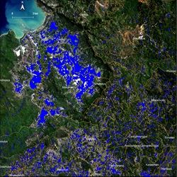
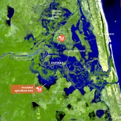
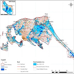
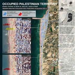
Satellites are a common tool for flood monitoring, as radar data - which is unaffected by clouds - provides valuable insight into the situation on the ground. Optical imagery may also be used before and after the clouds pass, to predict an approaching storm or identify areas potentially at risk of flooding, and to map the extent of the flood in the aftermath.

 English
 Spanish
 French
 Chinese
 Russian
 Portuguese
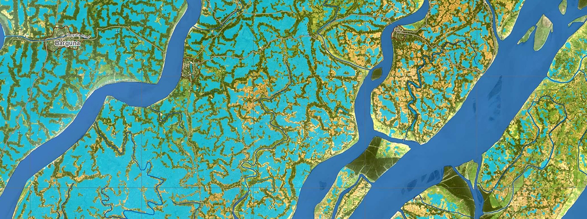
 Flood in Bangladesh